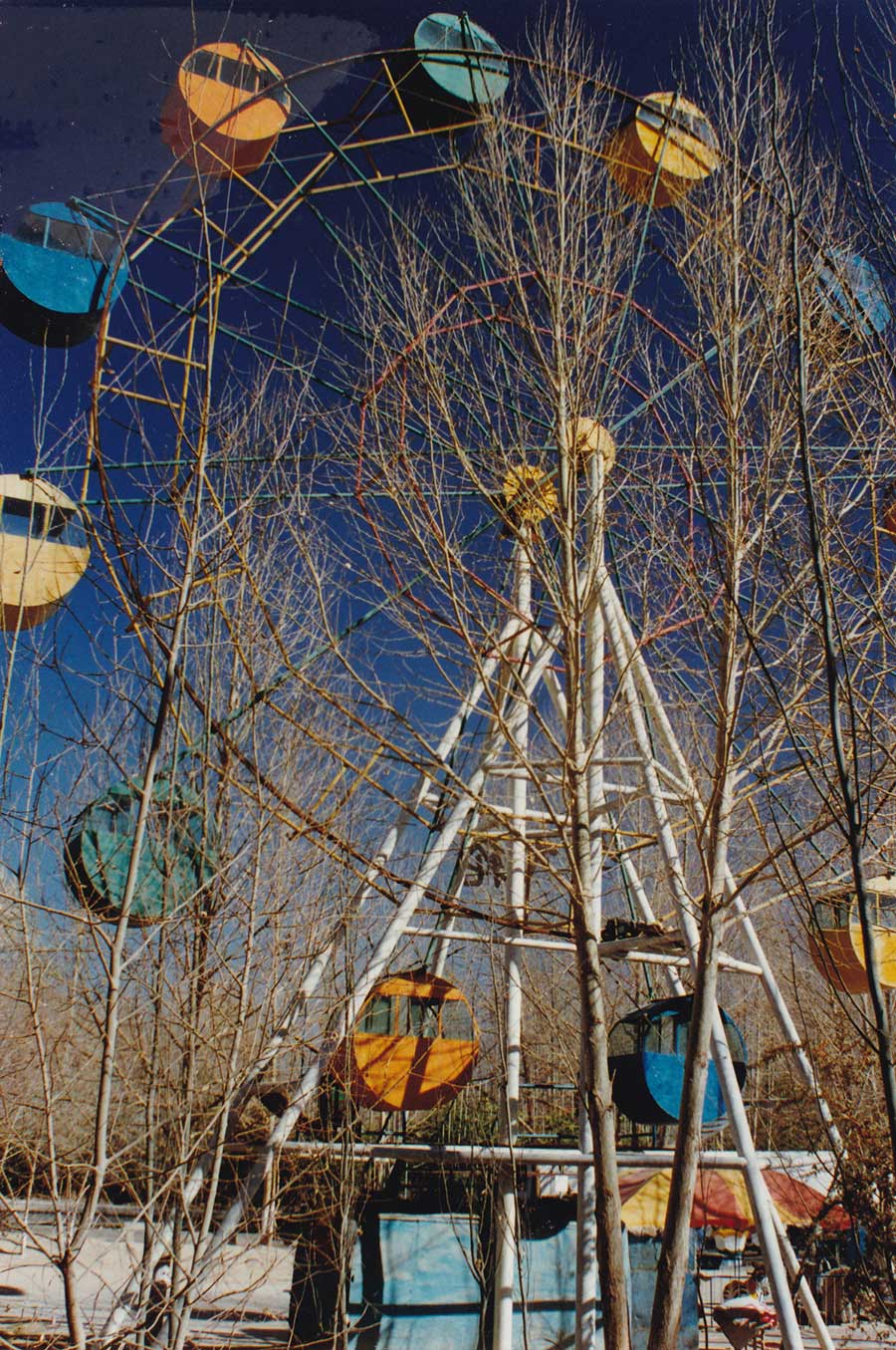
(Source: China Daily)
Infrastructure investment opens up remote Qinghai
By Bruce Connolly | chinadaily.com.cn | Updated: 2018-03-28 14:03
Walking around vast, bustling population centers such as Shanghai and Chongqing, it can be hard to appreciate that much of China is actually lightly populated. Indeed, vast tracts are uninhabited. Just north of Beijing, not far beyond the Great Wall at Badaling, it is possible to observe how the land starts drying out in a direction ultimately leading toward the vast waterless deserts of northwestern China.
Tectonic plate movements throughout the Earth's geological history, pushing up the Himalayan Mountains that border China from southern Asia, have created a rain shadow. Rain falls mainly south of the mountain range while the north is left predominantly dry. This is compounded by high pressure air systems spreading every winter from Russia and Mongolia across much of northern China. Extremely low rainfall is aggravated by often bitterly cold temperatures. Settlement is restricted by water availability. Until recently, much of the area faced remoteness and isolation.
Throughout history the northwest has been a land of oasis settlements connected by camel caravan routes, part of the fabled Silk Road. However, it is a mineral-rich area that, in recent years, has witnessed engineering achievements once thought impossible. While greatly improving connectivity with other parts of China, this has also positioned the northwest as a major bridge within the nation's Belt and Road Initiative.

My journey in 1997 was at a time when infrastructure remained relatively basic, particularly beyond destinations such as Dunhuang, once an important staging post on the southern Silk Road route. It was accessed from from Liuyuan, a station astride the main railway from Lanzhou to Xinjiang Uygur autonomous region, via National Highway 215. That road, running 641 kilometers up to Golmud in Qinghai, allowed onward, though lengthy, connections to Lhasa. Today, Dunhuang is linked into the national railway network. With a backdrop of sand mountains 76 meters high, it was popular for travelers on a budget in 1997. Relaxing cafes provided comfort food along with useful travel information.
Qinghai, a vast lightly populated area bordering Tibet autonomous region, had long fascinated me. Pouring over maps, I realized how there were few roads and limited vegetation cover in the province. My plan was to go up to Golmud before heading east toward Xi'an.
Admittedly I was somewhat apprehensive about the journey. It would be by an older bus following a lonely road traversing an area bereft of facilities - one of China's more inhospitable environments. It actually turned out to be one of the most amazing, spectacular travel experiences I have undertaken.

Leaving Dunhuang at 7:30 am, the bus trundled into the desert, passing high sand mountains. We were on the eastern edge of the Taklamakan Desert. Had it not been for parallel stabilization techniques, I was sure nearby dunes could have encroached on the highway. That scene eventually gave way to extensive stretches of gravel spreading toward the Qilian Mountains. Highway 215 traversed what could easily be described as an "empty quarter" where the only sign of human impact was the often deserted highway, as straight as an arrow, aiming toward a distant horizon. It was a land of incredible visibility, of cloudless and intensely blue big skies.
The route started climbing for an hour through many turns, passing frozen rivers before emerging onto a barren, empty plateau suggesting an almost lunar appearance. Bare of vegetation, exposed geology displayed a mosaic of rock formations and colors. Traversing a series of passes and basins, the bus halted several times. People would get off and start walking along tracks with their hefty sacks, but where were they heading?
Eight hours after departing Dunhuang, we pulled into the small town of Chaidanzhen, next to Da Qaidam Lake, for a late afternoon lunch break. An hour later, we were once more into high-altitude deserts, before following a "salt highway". The road for many kilometers stretched across extensive beds of salt, something I could taste on my lips.

After 13 hours in total, as the sun was setting, we finally reached Golmud. I was dropped off at the only hotel accepting foreign travelers, who were few at that time. Indeed, I saw no other Westerners there. Dining in local Sichuan, Tibetan or Lanzhou beef noodle restaurants, I initially received incredulous stares that would soon transform into welcoming grins.
Located in south central Qaidam Basin at an elevation of 2,809 meters, Golmud was at a crossroads of ancient routes, long and lonely tracks forming part of the Silk Road network. In the middle of October 1997, daytime sunshine brought relative warmth. But after sunset, the air quickly turned cold. The city averages 3,096 hours of sunshine annually, and humidity hovers around 32 percent with around only 28 days of rain, mostly falling in summer.
Golmud stood at the center of Haixi Mongol and Tibetan autonomous prefecture. With a population of around 270,000, Golmud was granted official city status June 14, 1980. Permanent settlement noticeably grew starting from the 1950s, the area having previously been visited mainly by nomadic herders. (Its name in Mongolian refers to "a place abundant in rivers".) Golmud developed as a base for surveyors and engineers working on the feasibility of constructing a railway to Lhasa from Xining.

Golmud is home to a multiethnic population -- including Tibetan, Mongolian and Hui people -- and around 90 percent of city's population migrated there from outside the area. Many came to work in its petrochemical and mineral-related industries. Surrounded by mostly gray desert, Golmud has varying deposits of coal, oil, potassium, magnesium, natural gas, gold and more. Because of the 20 saline lakes relatively near the city, salt production has long been significant. The 5,856-square-kilometer Qaarham Salt Lake is the largest of its kind within China, and has become an increasingly popular tourist destination.
Railways have long been seen as key to China's development. However, a challenge was to build a line up to Tibet. In the 1950s, this task remained beyond the country's growing rail network. The geographical obstacles were immense, but it was a national ambition to construct this line. The 815-kilometer line from Xining to Golmud was completed in 1984. With onward construction then deemed technically too difficult, the line terminated at nearby Nanshankou.
Transforming into an onward gateway, particularly for Lhasa, freight and passengers arrived at Golmud. They then transferred onto the only land route across the Qinghai-Tibet Plateau, which required a two day journey. In 1997, I stood looking at that highway, wondering if a railway would ever be constructed.

On July 1, 2006, the 1,142-kilometer extension to Lhasa opened. At the time, it was a railway engineering achievement without parallel. Golmud experienced a small boom during the construction period, which dropped after completion. The city was no longer a transit point. Highway freight to Lhasa also declined significantly. Tourism however has steadily developed, with travelers spending some time to discover, for example, the nearby salt lakes before heading on to Lhasa.
Golmud, the third largest city on Qinghai-Tibet Plateau after Xining and Lhasa, was compact enough in 1997 to walk around or make excursions into the surrounding desert. I frequently enjoyed simply sitting at popular street stalls that served spicy barbecued meat on sticks. Many ethnic groups were noticeable, particularly around the railway station. Having come by road from Lhasa, these people including maroon-robed lamas continuing on to Qinghai's capital Xining, their ultimate destination being the fabled Ta'er Monastery.
I left Golmud on an almost empty afternoon train heading east across vast salt beds. Increasingly, the landscape turned arid as the rails continued along a track protected against the ever-present threat of sand encroachment. I could see no sign of settlement except for isolated stations, simple passing loops on that single track line. Thinking I would have a quiet night ride to Xining, that myth was dispelled at a seemingly remote station crammed with workers waiting to board. Rapidly, every hard sleeper bed filled up. It would prove to be a long, hard journey to Xining.
In 1997, there were two daily trains, both terminating at Xining, after around 17 hours of travel. Now nine daily trains, connecting several major Chinese cities with Lhasa, complete that journey in only seven hours.
My railway experience in 1997 skirted along the northern edge of Qinghai Lake in darkness. However, one year previously I had traveled to the lake from Xining on a cold and at times snowy October day. The city sits in the Huangshui River valley below the main plateau. A highway wound steeply up from that fertile locale to higher, almost treeless but extensive pasture land. Soon the presence of yaks, seminomadic tents and distinctive building styles of small settlements increasingly suggested a more Tibetan influence. The road continued over Sun and Moon Mountain Pass, skirting patches of snow before descending through the roadside town of Daotanghe. Mules pulling wooden trailers for people or goods slowly moved past monks in maroon robes and yellow peaked hats. Motorcycles also appeared popular.
Approximately 300 kilometers from Xining, I encountered the calm waters of Qinghai Lake, China's largest, which was sheltered north of a snowcapped mountain range. Girls in red and white headscarves traveled by donkey cart, and yaks were grazing before arriving at a village. There, I enjoyed lunch at the Bird Island Hotel, its name reflecting a nearby island attracting many migratory birds between June and September. With fascination I wandered around, meeting local schoolchildren while venturing past a white stupa, until I reached a recently upgraded harbor with anchored fishing boats. Near the lake sat a small Tibetan encampment. I was invited in, where I saw staple barley dumplings or tsampa being prepared. Outside, shepherds were coaxing flocks of sheep into a field.

These were timeless moments on the Qinghai-Tibet Plateau. But with all the recent developments in railway lines, there will be more to come.
In 2012, construction started on the Golmud-Dunhuang Railway, branching off from the Qinghai-Tibet Plateau at Yinmaxia, north of Golmud. It roughly follows National Highway 215, much of which is now an expressway.
November 2014 saw work starting on the Golmud-Korla Railway. Upon completion, it will provide a through route to Urumqi, Xinjiang's capital.
Golmud looks set for transformation into a major transportation hub for the Qinghai-Tibet Plateau.
In a few years there will be some fantastic rail journeys on the plateau, such as Dunhuang to Chengdu via Lhasa and Nyingchi. I don't know about you, but I am booking my tickets.